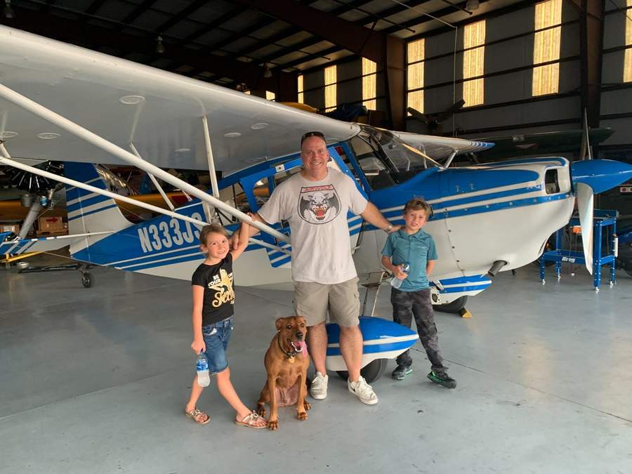
I've sold homes in Central Florida since 2001, and I've flown over it since 2003. Real estate is my job. Flying is my passion, and the view from the air changed how I see every property I sell.
How it started
When I started selling homes in 2001, most lakefront listings had one photo: the front of the house. The lake and the dock were buried in the description. Buyers searching online had no idea what they were really looking at.
So I hired a pilot and a photographer. But getting the plane, the pilot, the photographer and good weather together on the same day was hard, and sellers were left waiting.
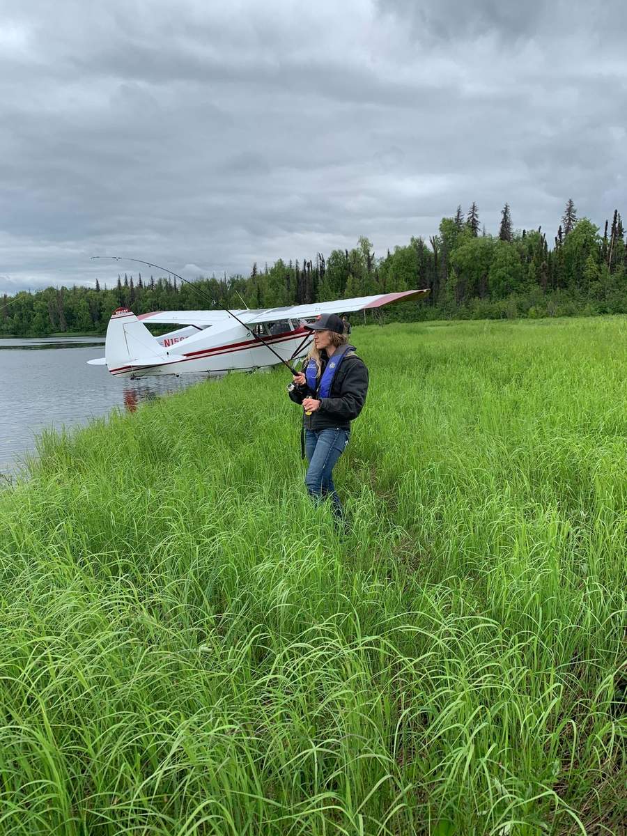
In 2003, I earned my pilot's license. I took every aerial photography class I could find, bought the right gear, and flew with a safety pilot while I took the shots myself. Later I added seaplane and rotor (helicopter) ratings. Today I'm a commercial pilot, fixed-wing, seaplane and rotor. My wife likes to say I was a drone before drones were a thing.
Aviation goes back further for me than that. My brother George first took me flying when I was about 10. In the Army, I was a Stinger missile operator. But I didn't earn my own license until after I got out.
What the air shows that the street doesn't
Growth you can see coming. Over Bellalago in Kissimmee and around Lake Nona, you can see new roads cut through the land years before they open. Some are five to ten years from done. So I tell buyers the truth: expect a few years of traffic pain before the new roads catch up. Since COVID, that's been the story across Central Florida.
A resort before it was built. When Margaritaville was going in, I could see the land as it was and compare it to the plans: the lake, the amenities, the whole layout. For investors, that view made the case. In my opinion, it's one of the top short-term rental locations in Central Florida today. It's close to Disney and built around the guest.
What an online map can't tell you
Satellite and street views are often out of date. They can be months or years old, and they miss what's been built since. No map shows you what a road is like at 7 in the morning, or between 3 and 6 in the afternoon.
That's a real problem for people moving here. Many pick a home online, sometimes with an agent who doesn't know how traffic moves here or where the area is headed. That's how a buyer makes an emotional decision instead of a wise one.
From the air, and from living here since 2001, I can tell you how an area really moves, and where it's going.
How I use it today
For my listings, I hire licensed drone pilots. I have my own drone, but I fly it for fun. I still fly for personal trips and for business. I've flown to Tampa, St. Pete and Miami to look at properties on my clients' behalf and report back. I've never sold flights.
An aerial view shows the potential of an area fast: the traffic, the growth, and the amenities that will matter to the next buyer.
The investors from Ireland
Years ago, a group of investors from Ireland flew in. They wanted to buy near Margaritaville, and they knew I was a pilot. So four of us went up in a Cessna 172 to see the site from the air: the huge pool, the amenities, everything going in.
It was a hot summer day, and it gets bumpy down low. I handed out sick bags and said, "If anyone feels queasy, tell me and we'll head straight back."
Sure enough, a voice from the back: "Hey, I don't feel too good." We turned for the airport. I said, "If you can't hold it, use the bag."
"No problem, mate. I got it."
I made one of the smoothest landings of my life. And as we taxied in, I heard it.
When we shut down, he looked at me. "Sorry, mate. I couldn't help myself."
I asked him what he wanted me to do about it.
"If you clean it up," he said, "I'll buy a house."
"Sold."
I cleaned the plane. We sold three properties that day, and we still laugh about it.
The day I flew to Miami to save a closing
It was a Friday in August, around 2004, with a hurricane heading for Florida. At 5 p.m., a bank in Miami called about one of my listings. We were set to close the next Wednesday. The bank said the home would be foreclosed at noon on Monday, and the sale would be dead. They would stop it if they received $8,000 by noon.
I got it in writing and verified it. The buyer still wanted the home. There was $5,000 in escrow, and the seller had nothing more to give. So the buyer agreed to add $3,000.
Monday morning, the title company cut a check for $8,000. Then the bank refused a wire. It might not arrive by noon. It was 9:30. Miami was a four-hour drive.
So I called a friend with an airplane. Wheels left the ground at 10 a.m. We flew through rough weather ahead of the storm, and I radioed ahead for a taxi to meet us on the ramp. The driver said traffic was bumper to bumper. I told him there was a big tip in it if he got me there before noon.
I walked into the bank at 11:50. The woman at the front desk looked like she'd seen a ghost. "How did you get here?" I told her I flew. She had the check receipted and notarized on the spot.
We closed on Wednesday. The seller avoided a foreclosure, and the buyer kept their deposit. The seller covered the cost of the plane and the taxi at closing. I didn't make a penny on the trip.
What this means for you
- Buyers: I tell you where growth and traffic are headed before you buy, not after.
- Investors: I look at location, drive time and what a community really offers your guests.
- Sellers: When something goes wrong before closing, I find a way.
Call or text Cliff at (321) 320-7129.
Frequently Asked Questions
Does Cliff Clover offer aerial tours or flights?
No. I don't sell flights or aerial tours. Flying is how I learned to read the land. For listing photos, I hire licensed drone pilots.
How does a pilot's view help a home buyer?
From the air, you see where growth is going, where traffic backs up, and what a community really has, like lake access and golf courses. I use that view when I check a property for a client.
When did Cliff Clover become a pilot?
I earned my pilot's license in 2003, two years after I started selling real estate full time. Today I'm a commercial pilot with fixed-wing, seaplane and rotor (helicopter) ratings.